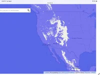
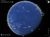
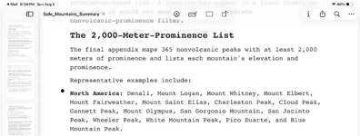
If Junho is correct in their assumptions and theories, by using floodmap.net and by enlarging the page, plus setting the floodwater elevation to 2000 meters, this is what North America will look like. Before geoscore.world came out, I used flood map many, many times. By comparing areas on floodmap with other modern maps, we can then seek mountains of prominence like Mount Massive in Colorado as just one example. Will the waters reach that high? Only the future holds that answer. I might imagine that the waters do get that high and then possibly recede to lower elevations. We must also take into consideration the amount of water that exists in the Pacific Ocean. If all of that water were forced to move in the initial flip, I’d surmise that the 2000 meter high mark has definite potential to wreak planetary havoc.